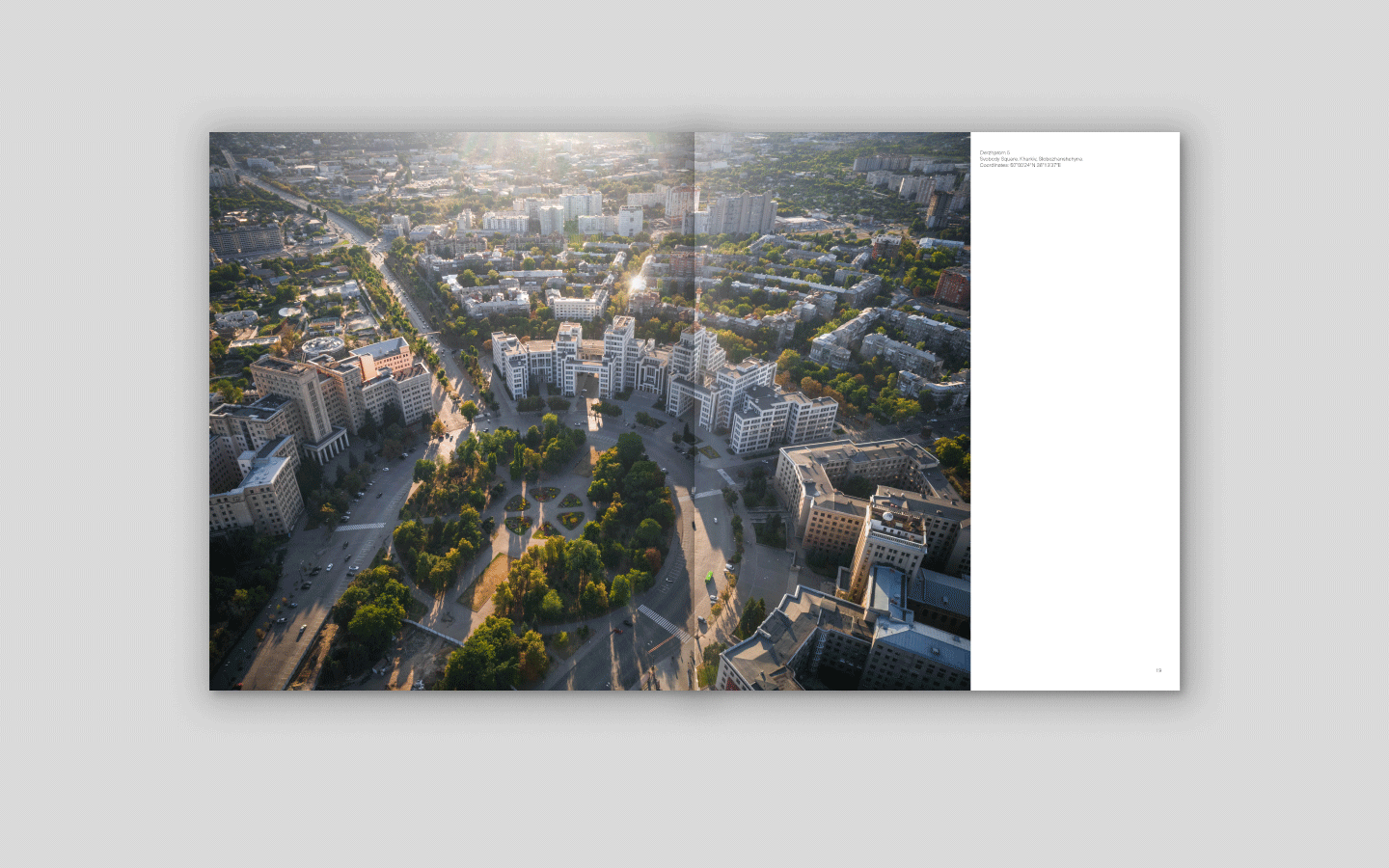
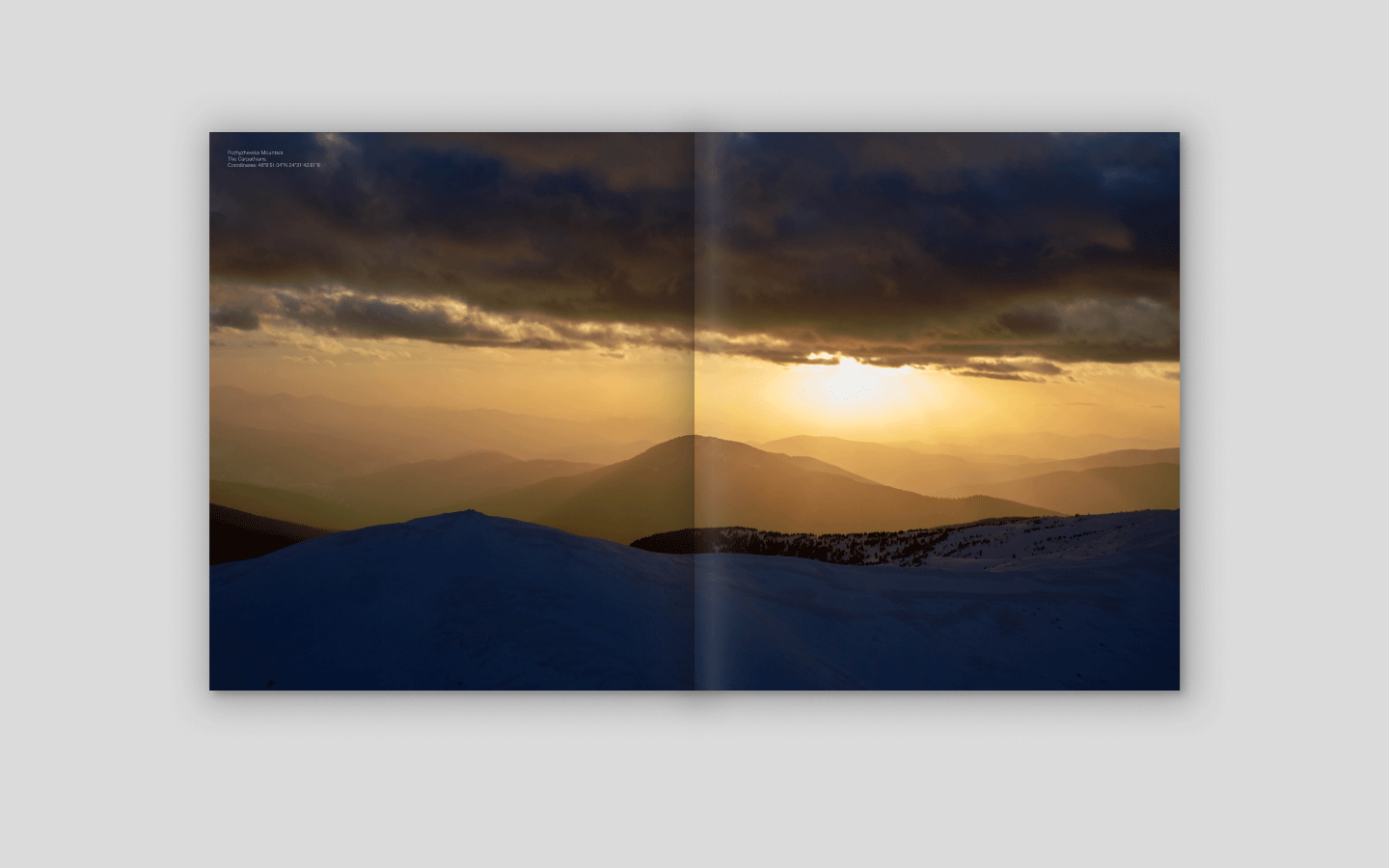
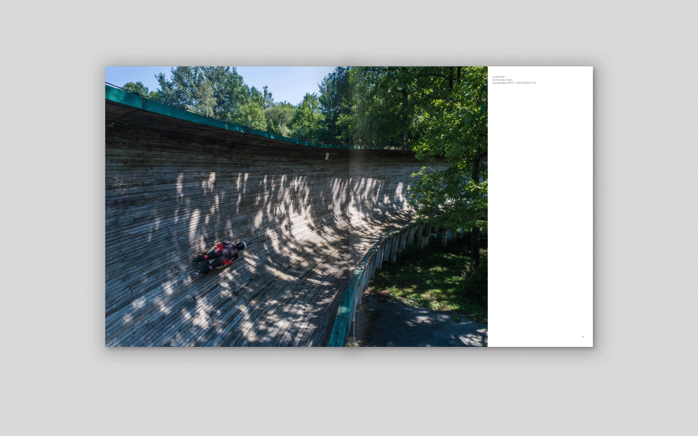
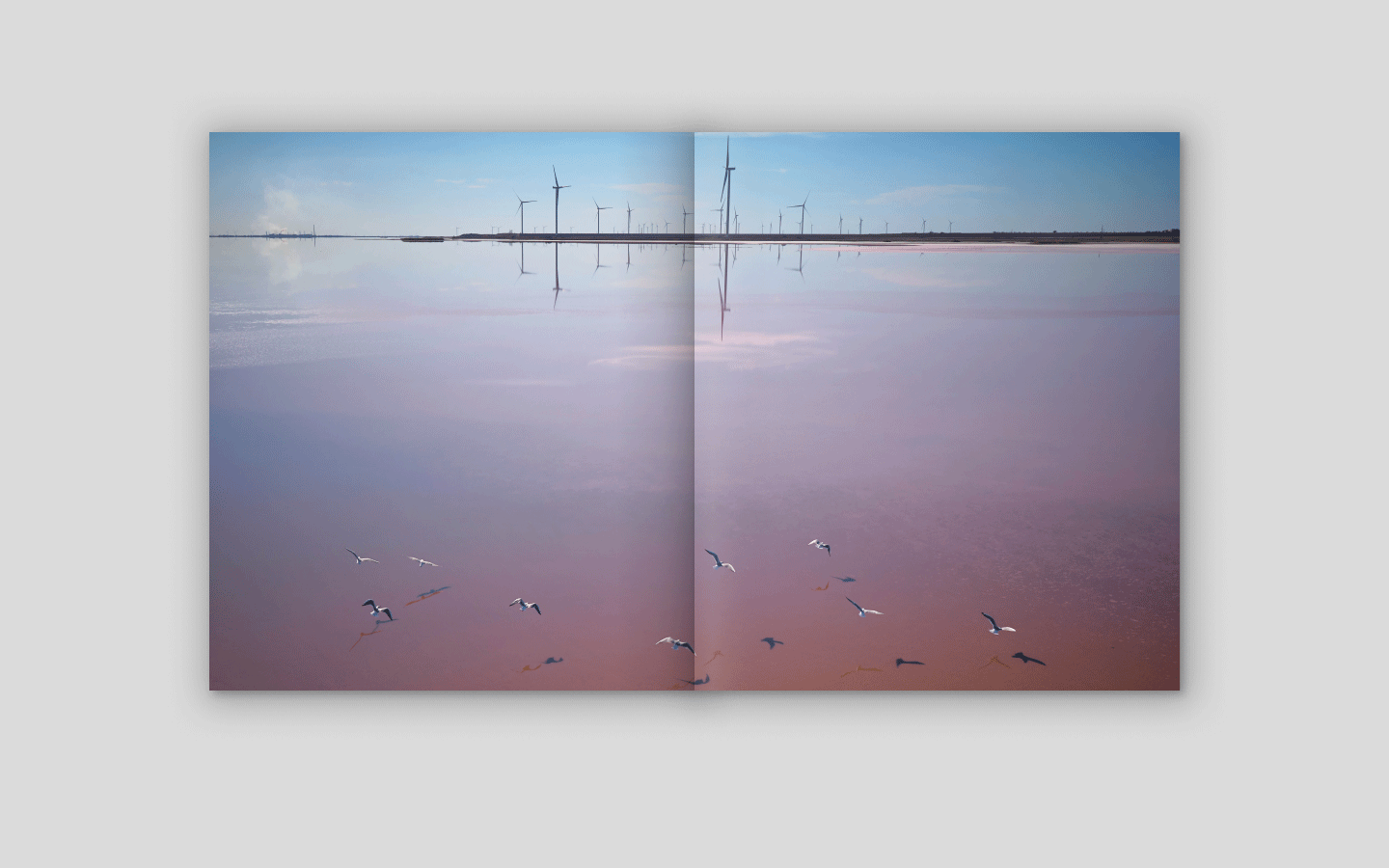
An English-language large-format photo book of Ukraine from a bird’s-eye view. Our team took these photos by drone during the years of expeditions before the full-scale invasion. Fields, forests, coasts, mountains, cliffs, and city street patterns represent Ukraine we are proud of and want to show to the entire world.
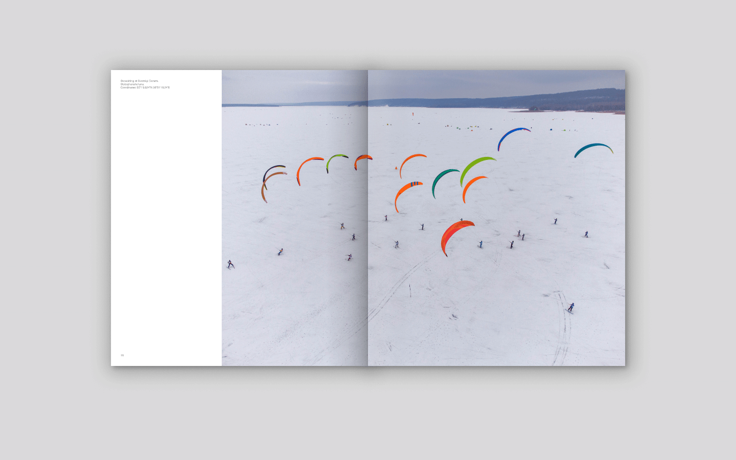
The photos have captions with GPS coordinates of the locations, as well as a QR code leading to the 35-minute video “Ukraine from above” dedicated to the 28th anniversary of Ukraine’s independence.
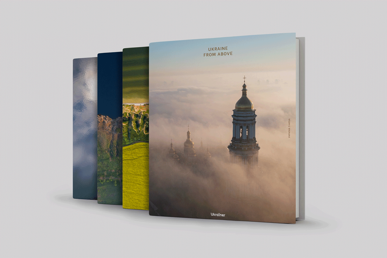
For the first edition, the publishing team decided to provide four variants of the photo book cover, as there was no way to choose just one photo: the bell tower of the Kyiv Pechersk Lavra, Lake Svitiaz, the Old Dnipro River, and Stanislavski Kruchi. In the future, the book will be available only with the cover with the bell tower, as this option won the most favour among readers.
slideshow
The fact that this book speaks the visual language of photography and is available exclusively in English makes it a great gift for both Ukrainians and foreigners.
